
GIS Analysis and Mapping
Our in-house specialists provide advanced geospatial analysis and spatial modelling using current industry-standard software and structured analytical workflows. GIS forms an integrated component of our biodiversity surveys and Environmental Impact Assessments, enabling precise spatial interpretation of ecological data and impact footprints.
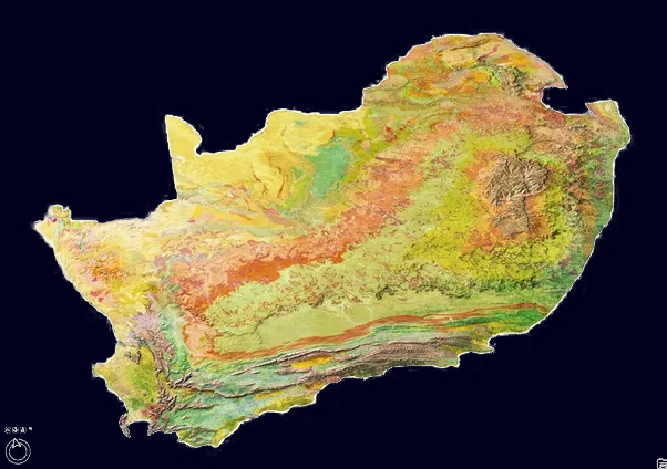
This image is stolen
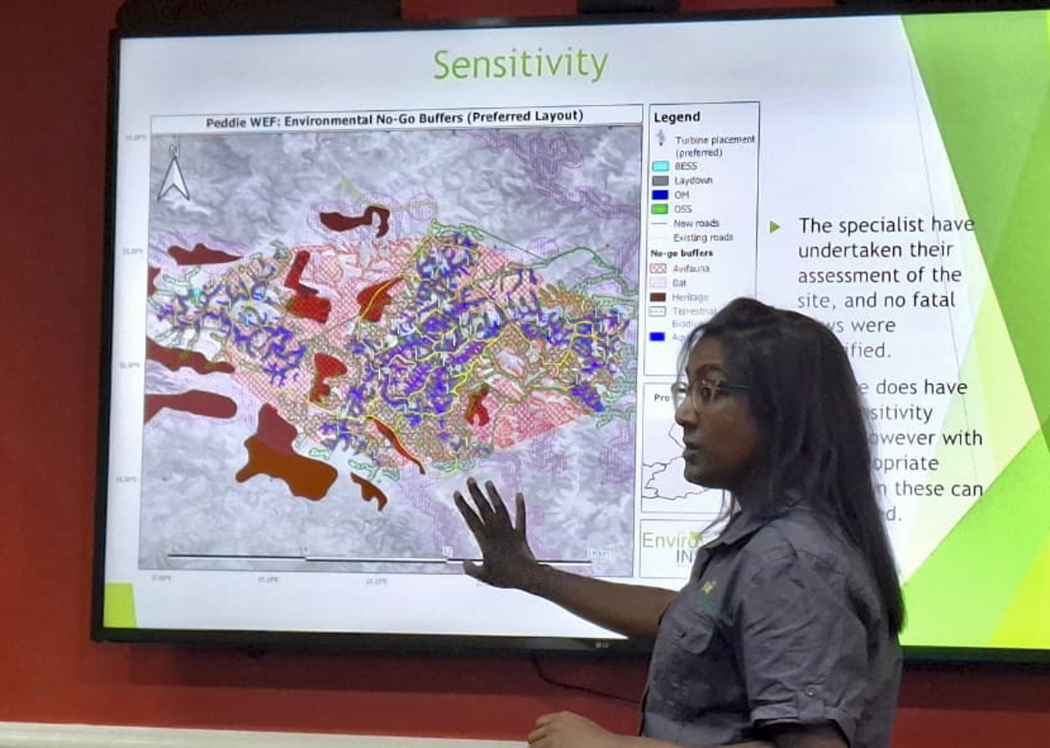
Spatial analysis applications
We apply spatial analysis across a wide range of ecological and regulatory contexts, from mapping baseline habitats and modelling species distributions to assessing development footprints and identifying environmental constraints early in the planning process.
- Habitat mapping and sensitivity analysis
- Impact footprint assessment
- Species distribution and movement modelling
- Constraint mapping and development optimisation
- Long-term monitoring data visualisation
In addition to supporting ecological and regulatory processes, GIS and mapping services are available as a stand-alone offering for clients requiring high-quality spatial analysis, cartographic outputs or data integration support. By combining field data with robust spatial modelling, we provide clear, defensible visualisations that support informed decision-making.